
Water Monitoring Wells at Rio Fernando Park
by Kan Namba, student, Climate Change Corp/Leadership in Forestry Training, UNM-Taos
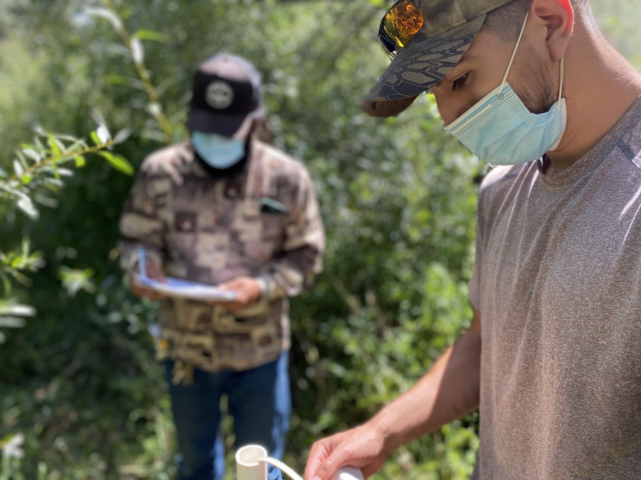
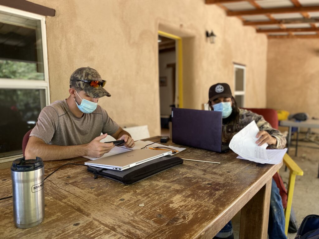
Over the summer of 2020, Darin Abeyta and myself, interns with the Climate Change Corp/Leadership in Forestry Training (CCC-LIFT) program at UNM Taos, had the opportunity to perform a groundwater study at Rio Fernando Park. We dug monitoring wells in a straight line, also known as a transect, across the property, and measured the depths of the wells to determine the groundwater levels and the direction of flow.
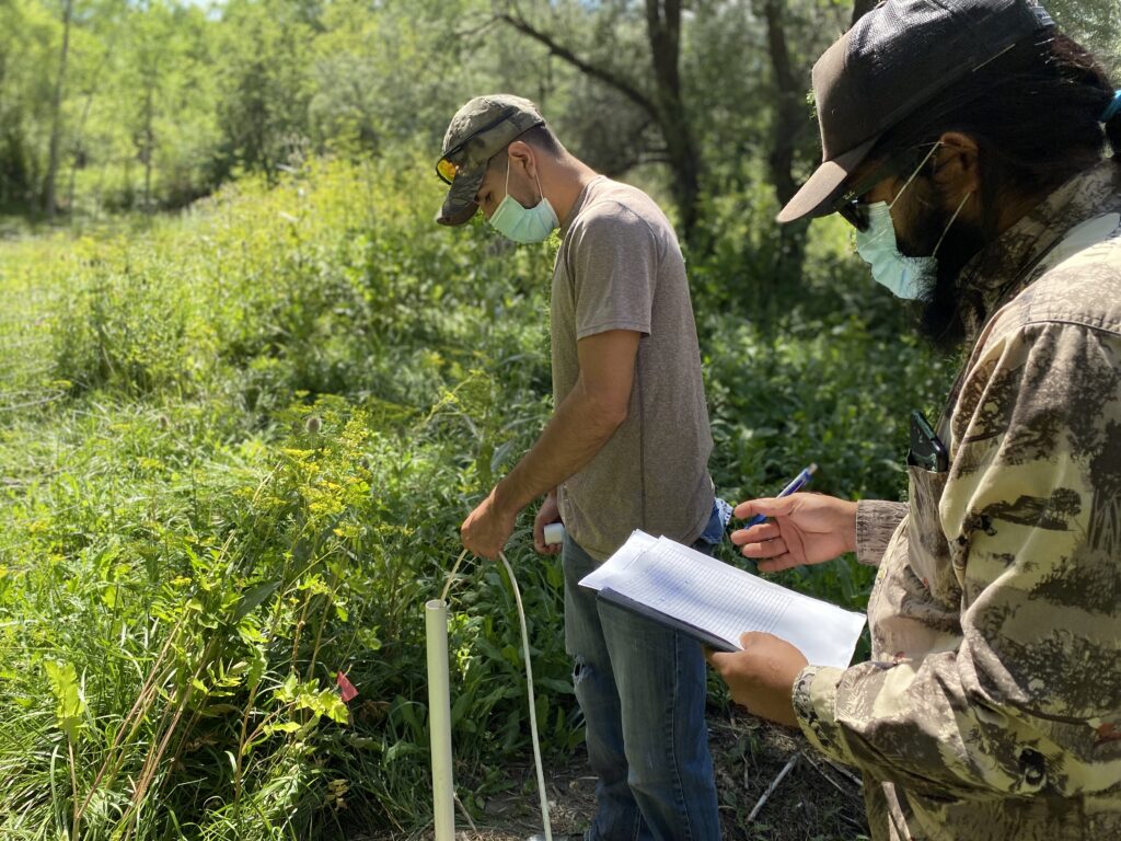
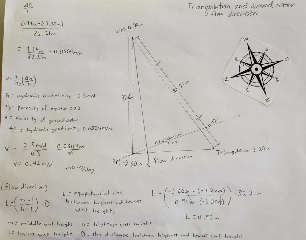
The first step in installing monitoring wells was to run a transect across the property. We used a sight level to get a straight line from the domestic wellhead, across the Rio Fernando, to the fence line across the property. We then dug holes with a hand auger until we reached water. We cut slits in 1.25 inch PVC pipe at half-inch intervals and installed a screen at the bottom of the pipe to allow for groundwater to flow in and out. The pipes were installed into the holes with roughly 50 pounds of sand surrounding each pipe in each hole. The holes were then backfilled and the elevations of the pipes above ground were taken with a sight level. We installed four wells on the transect and one more for a triangulation point to determine groundwater flow. Water levels were recorded 3-4 times a day with a 1/100ft water level meter.
In our readings of the monitoring wells, we have found that the groundwater does sit almost level across our transect. This was an exciting discovery, as there is a 7.5-foot elevation change in terrain from upland to the Rio Fernando. The Rio Fernando read a level slightly lower than the rest of the monitoring wells. This indicates that the groundwater, from the uplands, flows towards the Rio Fernando. This is referred to as “gaining reach” or a “gaining stream.”
The flow of groundwater and the rate of flow can be calculated when there are three monitoring wells spaced in a triangle, which we installed. Distances between wells and depths of groundwater are needed to make the calculations for groundwater flow. Groundwater flow triangulation determined that the groundwater does flow from the upper wells towards the Rio Fernando. It flows at a rate of 0.42 meters per day, or, roughly 1.5’ feet per day. At our monitoring well sites, we have determined that the groundwater flowed from the east to the southwest.
While we were at it, we also gathered data on the domestic well. We measured the water level depth 3-4 times a day, once a week, with a water level meter. We took the averages of the well water depths and observed a drop in water level as the summer progresses. In June the well-measured an average depth, from the top of the well casing to water, of roughly 11.6 feet. In July it measured an average of 12.4 feet and in August it measured an average of 13.1 feet. This means that the water level in the well dropped 1.5 feet in 3 months.
(Darin’s Ground Water Flow Calculations)
At the start of our recordings, we hypothesized that the groundwater would be level across our transect and close to the surface where the Rio is located. We also hypothesized that the water would flow from east to west, into the Rio Fernando. Our findings supported our claims, we took elevations at each monitoring well and made a cross-section to see that the groundwater was almost level under the ground. We also proved our hypothesis on flow direction when triangulating three well points.
This has been one of the most exciting and informative summer internships that either Darin or I have had. We are grateful to have had the opportunity to perform this groundwater study. It could not have been possible without the support and resources of the Taos Land Trust. We are excited to see more data from the monitoring wells as the years progress.
##